Habitat risk mapping for wild elephants
Partners: The Asian Institute of Technology and Airbus Foundation
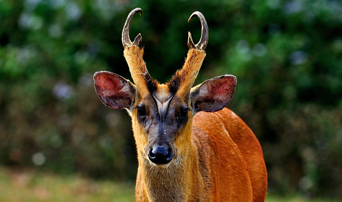
Key Species: Asian elephant, leopard, jackal, barking deer and marbled cat
2023 Award Winner
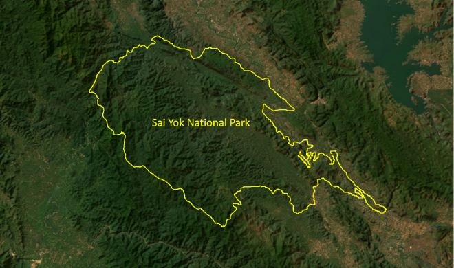
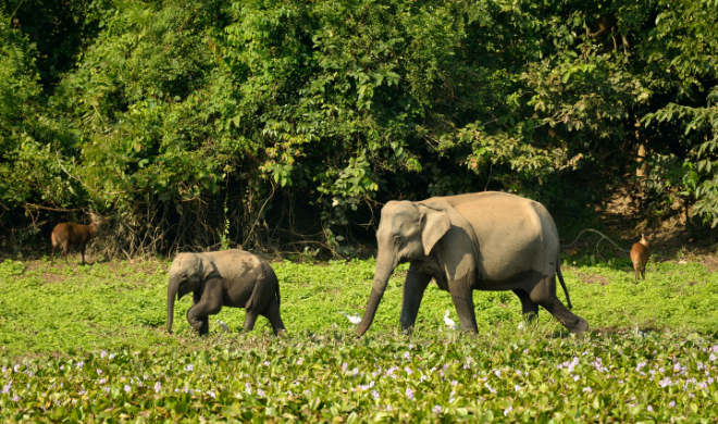
In the picturesque Sai Yok National Park in Thailand lies a hidden crisis. The wild elephants of Thailand - a majestic and iconic species - have seen their numbers dwindle to a mere 3,500 due to illegal poaching and habitat loss.
The situation is being exacerbated by increasing human pressure. As the majority of the local population relies on agriculture for their livelihood, the expansion of farmland, combined with the fuelwood demand, has led to rapid deforestation and fragmentation of the elephants' habitat. Their bamboo bushes - an essential food source for elephants - are being displaced with commercial fast-growing species like eucalyptus and teak. As a result, human-elephant conflicts have become commonplace in the region.
Conserving the gentle giants: Using high-resolution satellite data
To address the pressing need for conservation efforts, a team of experts at the Asian Institute of Technology has initiated a project to map the wild elephant habitat in Sai Yok. The project will make use of high-resolution data and advanced machine-learning algorithms to classify landscape features between 2012 and 2022. In addition, the team will develop a habitat quality assessment model, which will aid in predicting future habitat quality in the Sai Yok reserve. The ultimate aim is to provide policy recommendations to stakeholders and governmental agencies on sustainable management practices to ensure the long-term preservation of the environment.
The team will use 50 cm Pléiades satellite data, donated by Airbus Foundation, to assess habitat loss in the Sai Yok reserve forest between 2012 and 2022. By comparing high-resolution satellite images taken over the last 10 years, they will identify the extent of ecosystem degradation, determine the impact of invasive species like eucalyptus on the elephants' food sources and detect changes in the landscape over time.
Armed with this information, the researchers, including Dr Indrajit Pal, Jyoti Prakash Hati, Satya V.S.A.B. Ganni, Nilay Pramanick, Rituparna Acharyya, Anushree Pal and Anil Kumar will develop a habitat map for the wild elephants, highlighting the areas most at risk, predicting future changes based on trends over time and identifying opportunities for conservation and sustainable management.
The use of this imagery will help shed light on the human-induced changes that have adversely affected the elephants' natural habitat, which the researchers aim to provide valuable insights for policymakers and stakeholders to devise effective conservation laws and a sustainable management plan that facilitates coexistence between humans and nature.
Developing recommendations for sustainable elephant conservation and management
This project will serve as a fundamental baseline for creating an advanced information repository for administrators, policymakers and future researchers. While the initial conservation actions may involve measures such as removing invasive plant species, replanting bamboo, enforcing laws to prevent the cultivation of foreign species, and promoting eco-friendly tourism infrastructure, the study's findings could also reveal other promising solutions.
The outcomes of this project hold huge potential to raise awareness of the issues and bring change for both the elephants and the residents of Sai Yok National Park. By protecting this biodiversity hotspot, it could also help bolster the declining habitat of leopards, jackals and the endangered barking deer and marbled cat and ensure that the gentle giants of Sai Yok National Park have a safe future in the forest.
What did we learn from this project?
- The mapping outputs and insights are now being shared with conservation and government organisations to inform planning and policy, including invasive species removal and HEC mitigation.
- Learn how this project evolved the anthropogenic impacts on elephant habitats, and classification results of leading machine learning models on Pleiades data on our Ecosystem Insights Hub.


