
Targeted habitat restoration using AI-driven models and satellite imagery
Partners: Wild Chimpanzee Foundation and Airbus Foundation
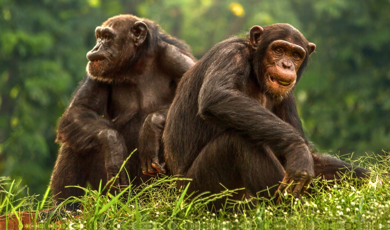
Key Species: Chimpanzee, African forest elephants
Key Ecosystems: Tropical rainforests, savanna and woodland, wetlands and rivers
2025 Award Winner
The Wild Chimpanzee Foundation (WCF) partners with governments to establish protected areas such as Guinea’s forthcoming Pinselli-Soyah-Sabouyah (PSS) National Park, supporting national efforts to conserve 30% of forests in Liberia and Guinea by 2030. These initiatives are critical for safeguarding ecosystems and protecting critically endangered species like the Western chimpanzee.
Overcoming infrastructure challenges to preserve pristine habitats
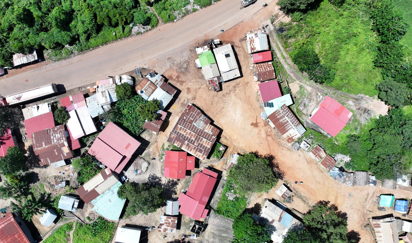
One significant challenge the WCF faces is the disruption of chimpanzee habitats caused by infrastructure projects, including a new railway line that cuts through the heart of the prospective PSS National Park. Compounding this are rising threats not accounted for in initial construction plans—waste dump sites, borrow pits and the rapid expansion of informal settlements.
WCF is leveraging high-resolution satellite imagery, donated by the Airbus Foundation and advanced foundation AI models to detect waste dump sites, borrow pits and unauthorised settlements within the affected areas. This will allow them to monitor environmental changes more efficiently, providing a clearer, more comprehensive overview of the situation and enabling faster, more targeted response and restoration efforts.
Tracking and tackling habitat disruption
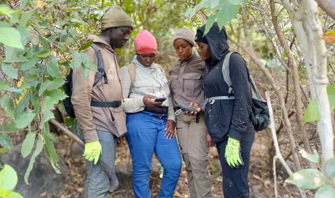
Currently, WCF staff conduct regular patrols to log threats using GPS devices. While invaluable, these patrols are labour-intensive and limited in scope. By integrating satellite data with on-the-ground reports, WCF can dramatically increase the accuracy, coverage and speed of its monitoring, reducing the pressure on field teams and delivering richer insights for conservation action.
Addressing environmental risks
A key benefit of using satellite imagery is enhancing the team’s ability to spot new threats to the habitat as they arise, such as the formation of new waste sites. With access to official construction plans and multiple years’ worth of data, the Foundation will use sophisticated machine learning models for precise identification and measurement of the threats.
Creating a scalable model
Their immediate goal: to mitigate the ongoing impact of the railway project on Western chimpanzees and a newly discovered population of African forest elephants—both threatened by unchecked development. Long-term, they aim to build a scalable, data-driven model for monitoring infrastructure projects worldwide—turning local conservation into global change.