
Scaling monitoring for ecosystem integrity and socio-economic progress
Partners: African Wildlife Foundation (AWF), Airbus Foundation, Space4Good, Natural Capital Alliance, Solar Impulse Foundation
Landscape: Tsavo-Mkomazi Landscape (Kenya)
2026 New Pilot & Partnership
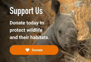
Across Africa, nature-rich landscapes are under growing pressure from rapid development, sprawling infrastructure and rising human populations. The African Wildlife Foundation (AWF), an Africa-based global conservation organisation, has identified 43 Biodiversity Economy Landscapes (BELs) that are critical to Africa’s survival — supporting wildlife, sustaining livelihoods, boosting climate resilience and powering key sectors such as tourism, agriculture, water and energy.
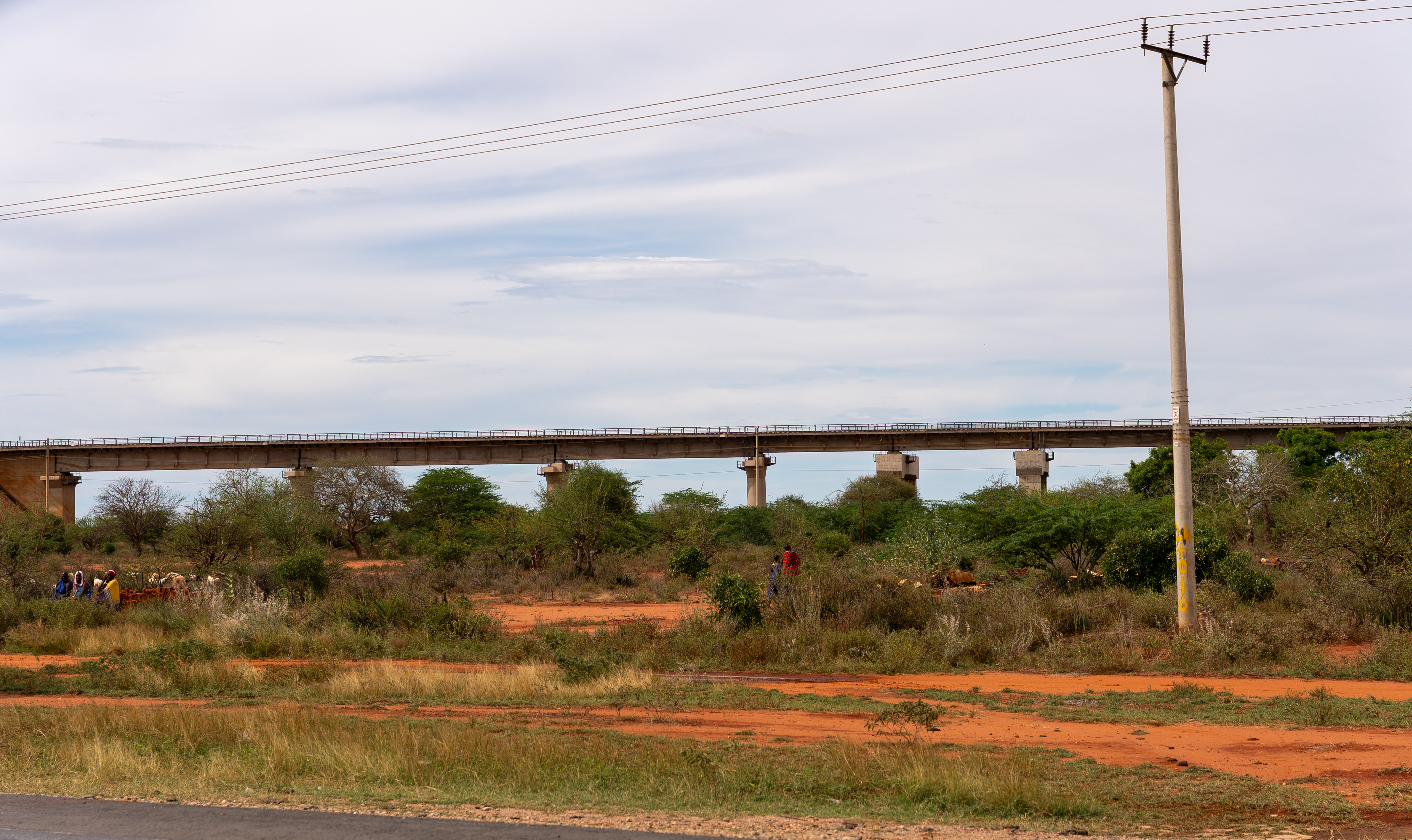
The Tsavo–Mkomazi Landscape, spanning Kenya and Tanzania, has been selected as a pilot BEL for an innovative project to develop and test integrated decision-support tools that translate complex data into actionable guidance for conservation and sustainable development planning.
Turning data into decisions with AWF’s SABEL Scorecard
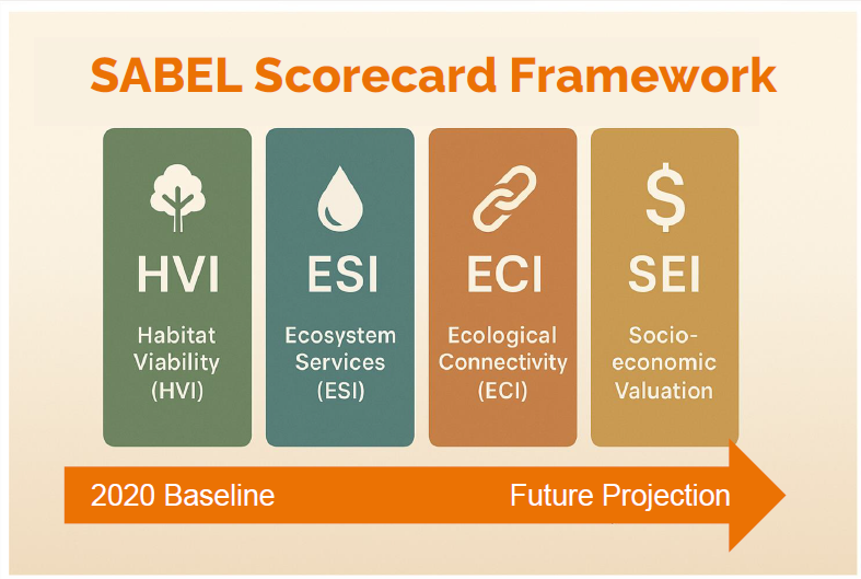
AWF and partners are developing the SABEL Scorecard (State of Africa’s Biodiversity Economy Landscapes), an evidence-based, science-driven and repeatable monitoring framework designed to track ecosystem health and socio-economic progress across conservation landscapes.
By harnessing donated high-resolution Airbus satellite imagery, cutting-edge spatial modelling and rich socio-economic datasets, SABEL will transform complex environmental information into intuitive dashboards and scorecards that policymakers, conservation managers and local communities can use to make evidence-based decisions and take effective, informed action.
Satellite intelligence for one of Africa’s most important landscapes
SABEL integrates remote sensing, artificial intelligence, and scenario modelling using standardised metrics to track ecological connectivity, habitat integrity, ecosystem service provision, and land-cover change, including pressures such as deforestation, infrastructure expansion, and settlement growth.
This data will feed into four key indices:
- Habitat Viability Index: assessing habitat quality and species distribution
- Ecosystem Services Index: measuring benefits such as carbon storage and water regulation
- Ecological Connectivity Index: tracking wildlife corridors and landscape connectivity
- Socio-economic Index: evaluating land-use and nature-based economic activities
Together, these indicators create a 2020 baseline, reveal the current landscape's health, and project scenarios through 2050, helping decision-makers anticipate challenges and act before crises emerge.
From pilot to continent-wide impact
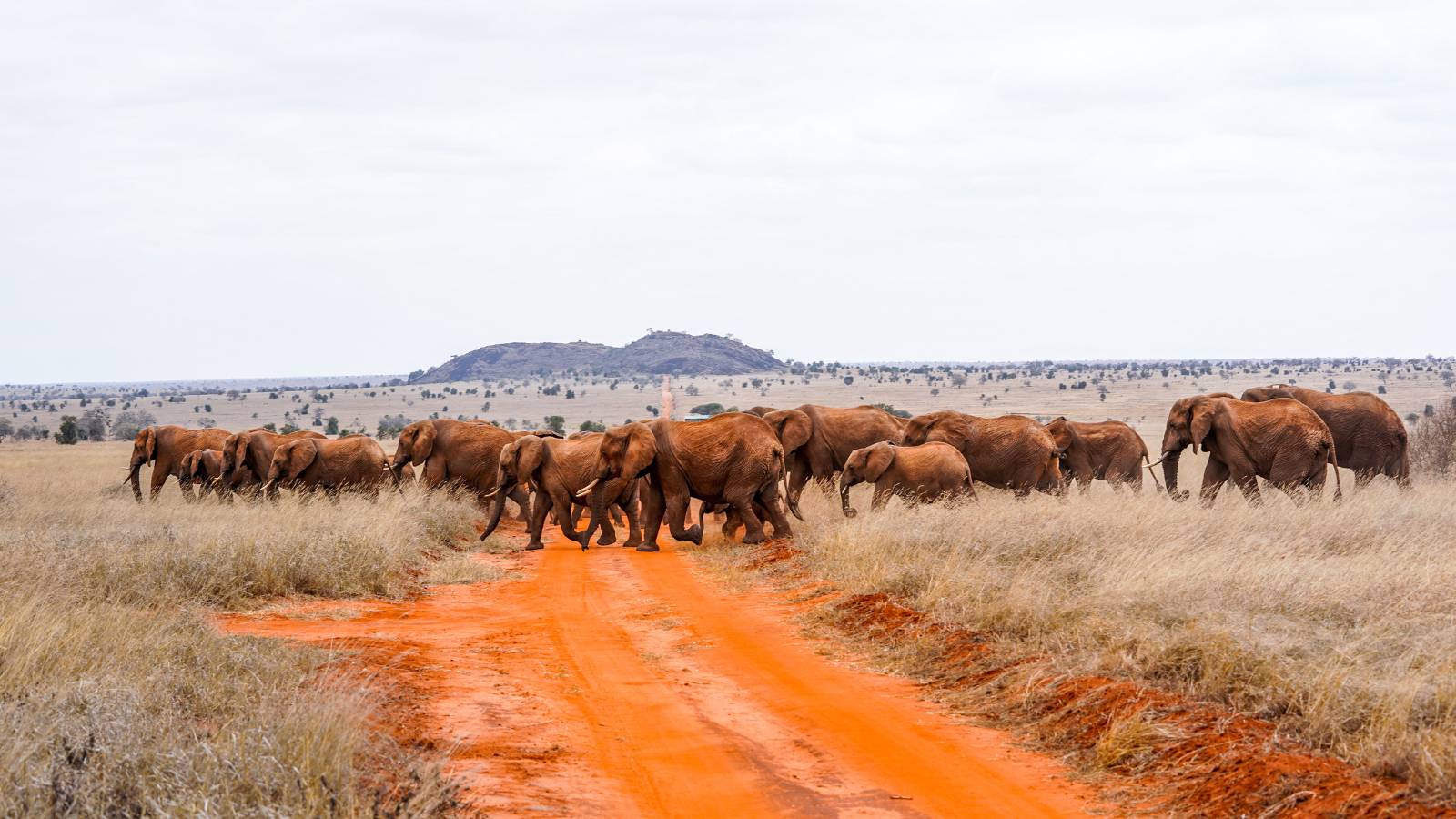
SABEL will be piloted in the Tsavo–Mkomazi Landscape spanning Kenya and Tanzania—a vast savanna ecosystem home to African elephants, giraffes, rhinoceros, lions, cheetahs, and African wild dogs, among other species, and a critical source of water and natural resources for surrounding communities, as a proof of concept. Tasking of 45,000 km² of imagery will be donated to assess the feasibility and pilot how SABEL can guide conservation investment decisions and strengthen policy and sustainable development planning across Africa.
Empowering decision-makers and strengthening resilient landscapes
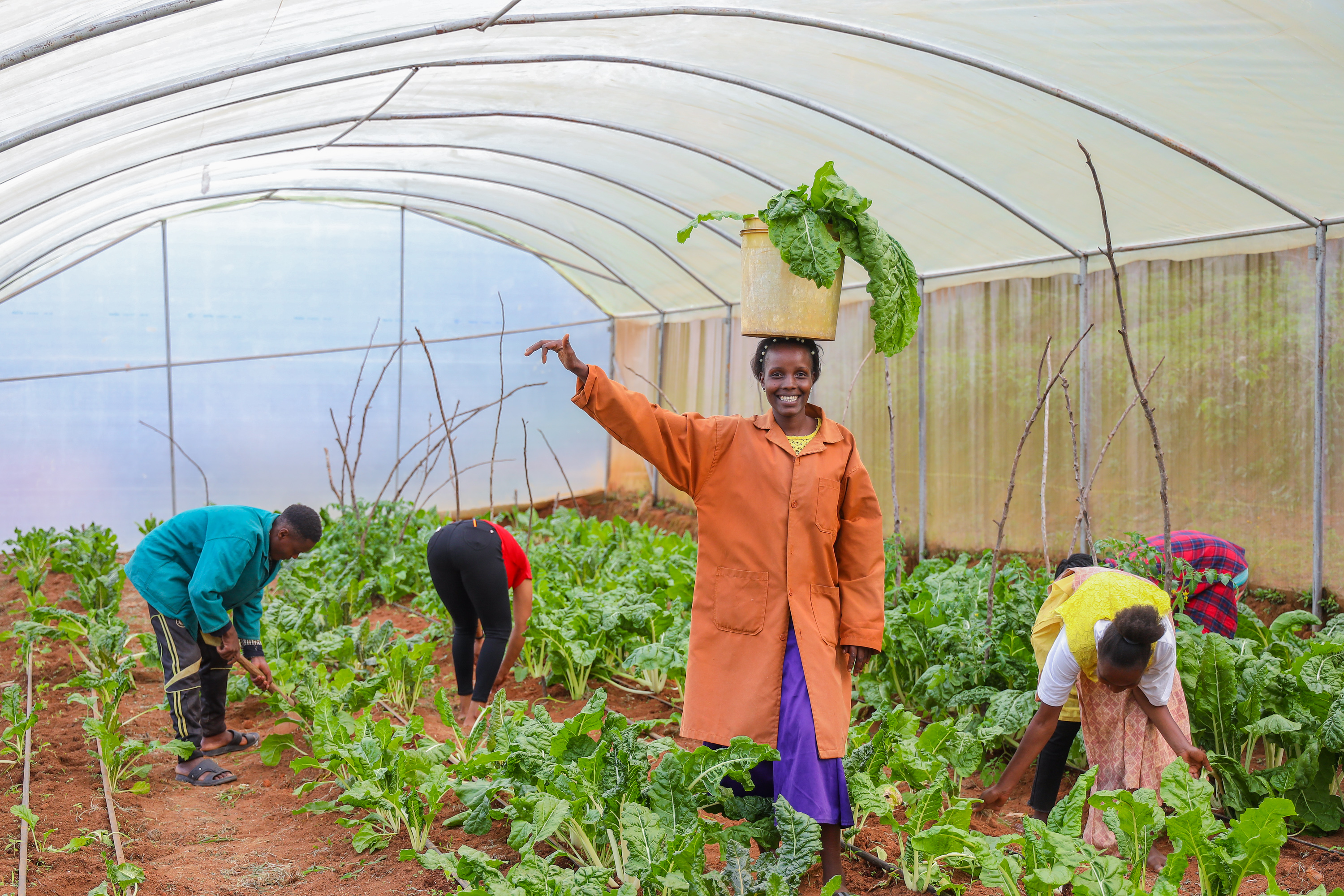
Rooted in African-led conservation and development, SABEL brings together satellite intelligence, rigorous scientific modelling and local expertise using a systematic assessment methodology that transforms data into actionable, real-world solutions. Through community-led workshops, collaborative planning, and indexed scorecards aligned with African and global policy frameworks, it seeks to establish a scalable, Africa-led monitoring system that ensures biodiversity remains central to Africa’s economic and environmental future.